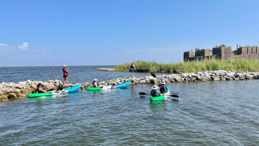
Fort Proctor was built in 1856, about 70 kilometers southeast of New Orleans. At the time of its construction, it sat about 500 meters inland, next to a railroad line. Intended to protect water routes to New Orleans, it was never garrisoned because the progress of modern warfare made the fortress obsolete even as it was completed. Though it has fallen into disrepair, it is listed on the National Register of Historic Places.
It is also now completely surrounded by water.
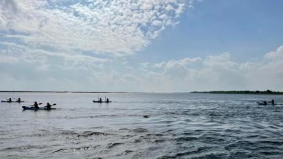
A combination of erosion, subsidence, riverine mismanagement, hurricanes, and sea level rise means that the only way to visit Fort Proctor is by boat. During a recent summer morning, NCSE’s Blake Touchet and 20 intrepid elementary, middle, and high school science teachers, along with researchers on a Louisiana Sea Grant-led project, paddled kayaks out to the fort as part of a professional development experience. The trip allowed the teachers, who came from across the state, to see firsthand the coastal changes affecting Louisiana.
“People used to walk to this place where they’re now kayaking,” explains Dani Diiullo, Director of Education and Engagement for Louisiana Sea Grant and the principal investigator of the National Oceanic and Atmospheric Administration grant that is funding the teachers’ professional development experience, called B-WET (Bay Watershed Education and Training). “You’re like, ‘Oh my goodness!’ It wasn’t an easy kayak trip, either, because it was kind of windy that day, and they’re kayaking this long distance.”
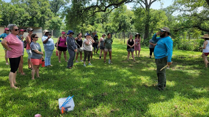
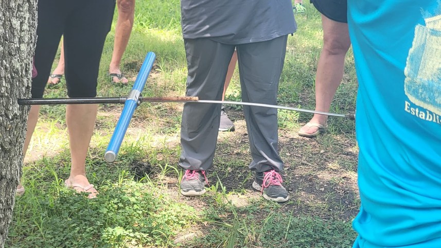
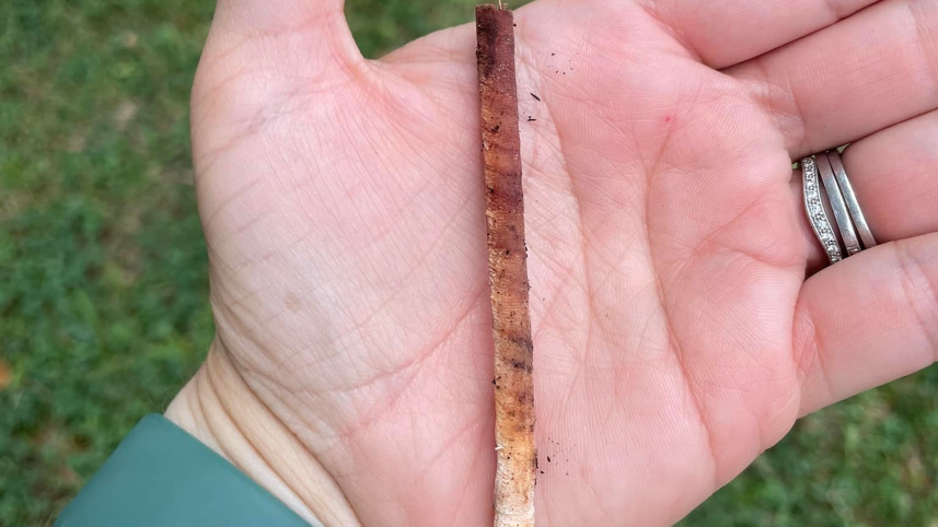
In addition to the trip to Fort Proctor, the teachers took part in other place-based learning experiences during the summer of 2022, with excursions to a wetland that the state of Louisiana is restoring, a coastal forest to take core samples from trees, and the Bonnet Carré spillway, a critical flood control on the lower Mississippi.


.jpg)
